Toggle navigation
Home
Studio
Design
News
Gallery
Contacts
Clients
Studio
Presentation
Team
Equipment
Home
Studio
Design
News
Gallery
Contacts
Clients
Topographical Instruments
Drone Mavic 2 pro
Topcon Laserscanner
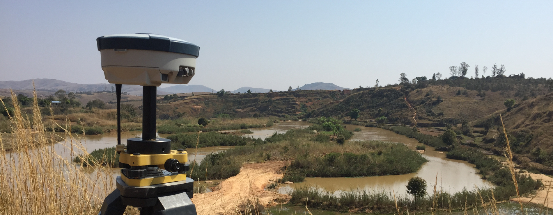
Trimble Multi-constellation GNSS R10
Trimble Automatic Total Station S5
Topcon hiper V baser
Sokkia SET 530r3 Total Station
Garmin GPS palm unit
Software
AutoCAD Design and Modeling Software
3DS Max Modeling and Rendering Software
SierraSoft ProSt Road Design and Topographical Restitution Software
PTekno Job Accounting and Safety Software
PRO-SAP Structural Calculation Software
PAC 10 – STAP FULL 11 Bulkhead, Wall, Slope Stability Calculation: Aztec Max10 Computer Software
CENED Energy Building Certification Software
MIDAS GEN Finite Elements Software
HEC-RAS Hydraulic Analysis Software
OpenFOAM fluid dynamics program
This site uses cookies to improve your browsing experience . By continuing to browse you accept their use.
Privacy Policy